Laserscanning
Scanning of plants, halls or buildings with a laser scanner offers the possibility of precise planning of any projects. Complex structures can be captured geometrically exact, so that the actual situation of a project can be digitized in short term and called up at any time. Based on captured data, this process simplifies the planning phase without the need to be on site.
Data acquisition
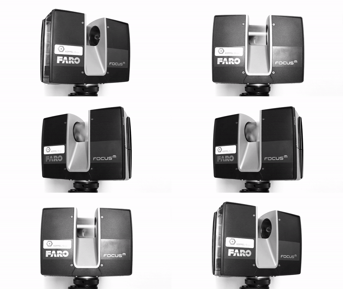
The result of a scan is a point cloud which can also be textured depending on the requirements. Each point is measured by scanning a horizontal and vertical grid. In combination with laser-based distance measurement, this results in a scan speed of up to 1,000,000 points/sec. Due to the possibility of changing station, any number of scanning positions can be linked together.
Therefore also covered areas can be scanned.


Nominal / actual comparisons
The acquired data serves as reference for the comparison between as-built situation and the CAD of the planned project. Thereby the previously optimized point cloud is fitted to the location according to the project drawing. If both data sets are placed optimally on each other, the distance between nominal and actual is calculated over the entire area and the deviations are displayed coloured. Critical areas can be quickly identified and reported.
3D modeling
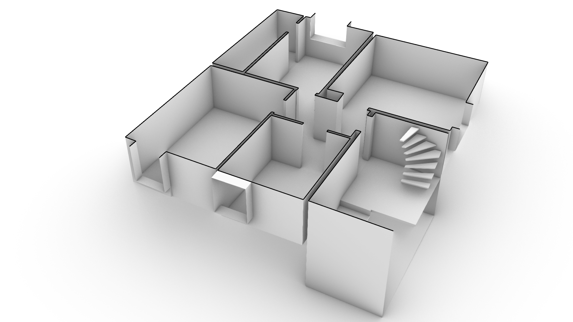
In 3D modelling, basic geometric shapes (e.g. planes, cylinders) are extracted from the point cloud and intersected with each other. More complex shapes are fitted to the point cloud in the best possible way by parameterized reconstruction processes. The result of 3D modelling is a complete model, which can also be quickly converted to 2D plans by horizontal cuts. The model is then exported to all common CAD and vector formats.


Industry & construction
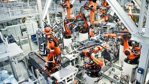
In industry and plant construction, designers and planners profit from the possibility of capturing their project with a laser scanner. During integrations into existing systems, the scanned data is available at any time as reference for the individual planning. Risks of a collision with the existing structure are minimized and discrepancies are detected quickly.
Deformation analyses


